
On Sunday 5th February twenty Ramblers, including one visitor from over the border in North Wiltshire, met at the Goods Shed car park in Tetbury on a cold but sunny morning, for a gentle 6.5 mile walk.
They started out north-eastwards along the old railway line that runs alongside the river, some stopping briefly to watch a group of alpacas running after the man with the food bucket. At The Trouble House public house, the path turned off to run along field edges, heading towards the village of Ashley. From the slightly raised vantage point of this footpath there was a good view of the aeroplanes parked up at Cotswold Airport.
From Ashley, the walk followed a stretch of the Monarch’s Way, the 1000km long-distance footpath that marks the route of Charles II’s flight after the Battle of Worcester in 1651 before escaping across the Channel. The route taken by the Ramblers took them across fields, round a small wood and through a farm yard, negotiating several stiles.
The bright, clear weather allowed them excellent distant views to the Wiltshire Downs in one direction and across the town of Tetbury in the other. The spire of the parish church of St Mary provided a constant landmark to follow for much of the way.
Returning to Tetbury, many of the group took advantage of the fare on offer at the Whistle Stop Café in the Goods Shed.
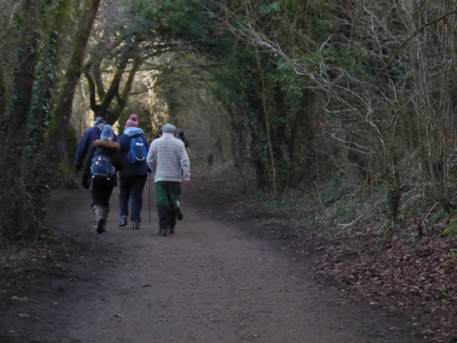
Leaving Tetbury on the old railway track
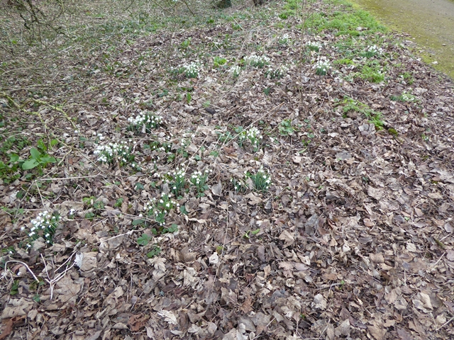
First sighting of snowdrops
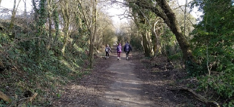
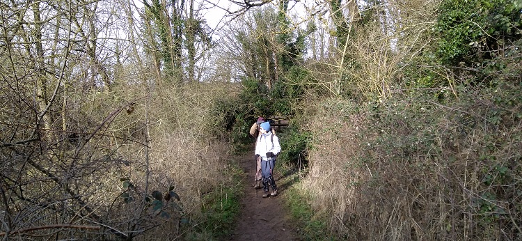
Heading towards Tetbury
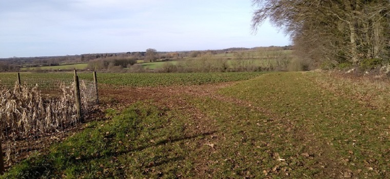
Top of the hill with view beyond A433
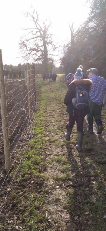
On the Monarch's Way